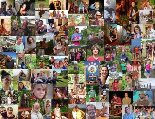
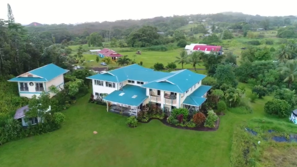
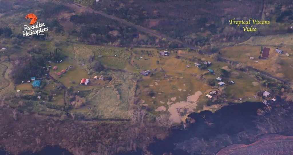
This shot taken from a drone before the eruption.
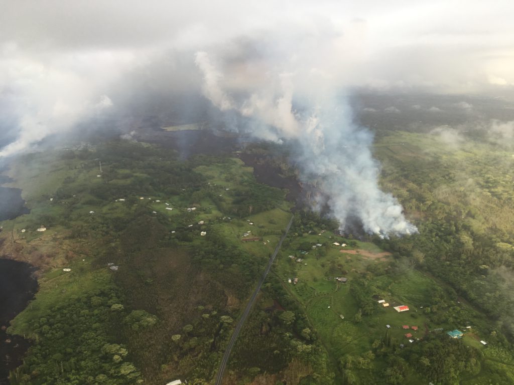
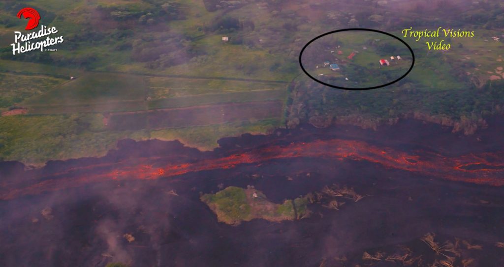
The day we evacuated, lava approaches the property, always identifiable by the red roof of Community Center and Teal roof of the main building.
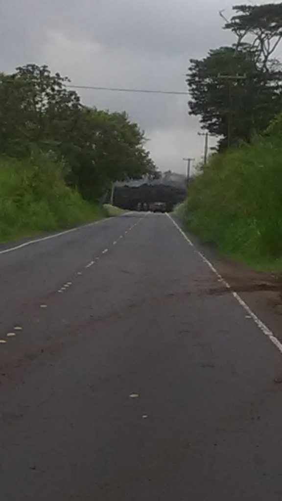
This is a view of the lava taken as it turned left into Noni Farm Rd.
From this shot forward, grass starts to turn brown. June 9th.
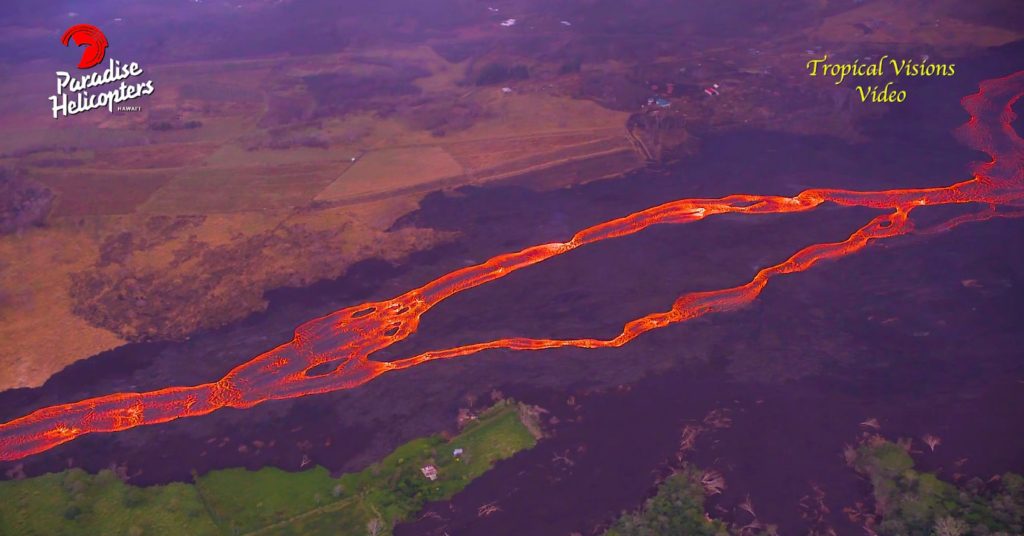
The river of lava is established a few days later. Grass is green, air quality still manageable.
Lava overflow edges start encroaching Polestar property line.
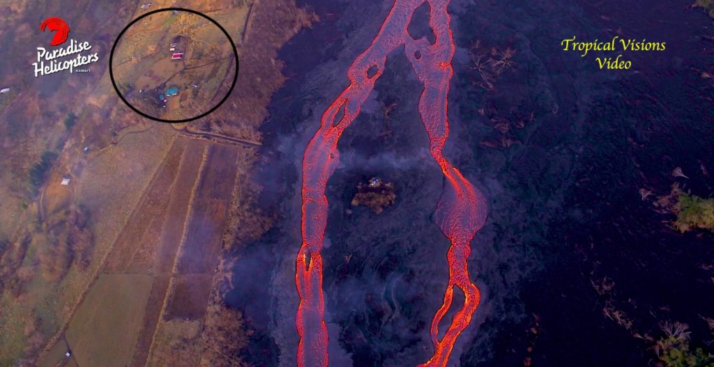
June 25th.
July 12th, lava reaches dry grass edges and burns throughout the property.
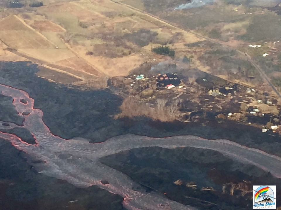
This shot shows the difference between upwind of the lava and downwind. Polestar in upper right corner, now blackened and covered in a blanket of laze.

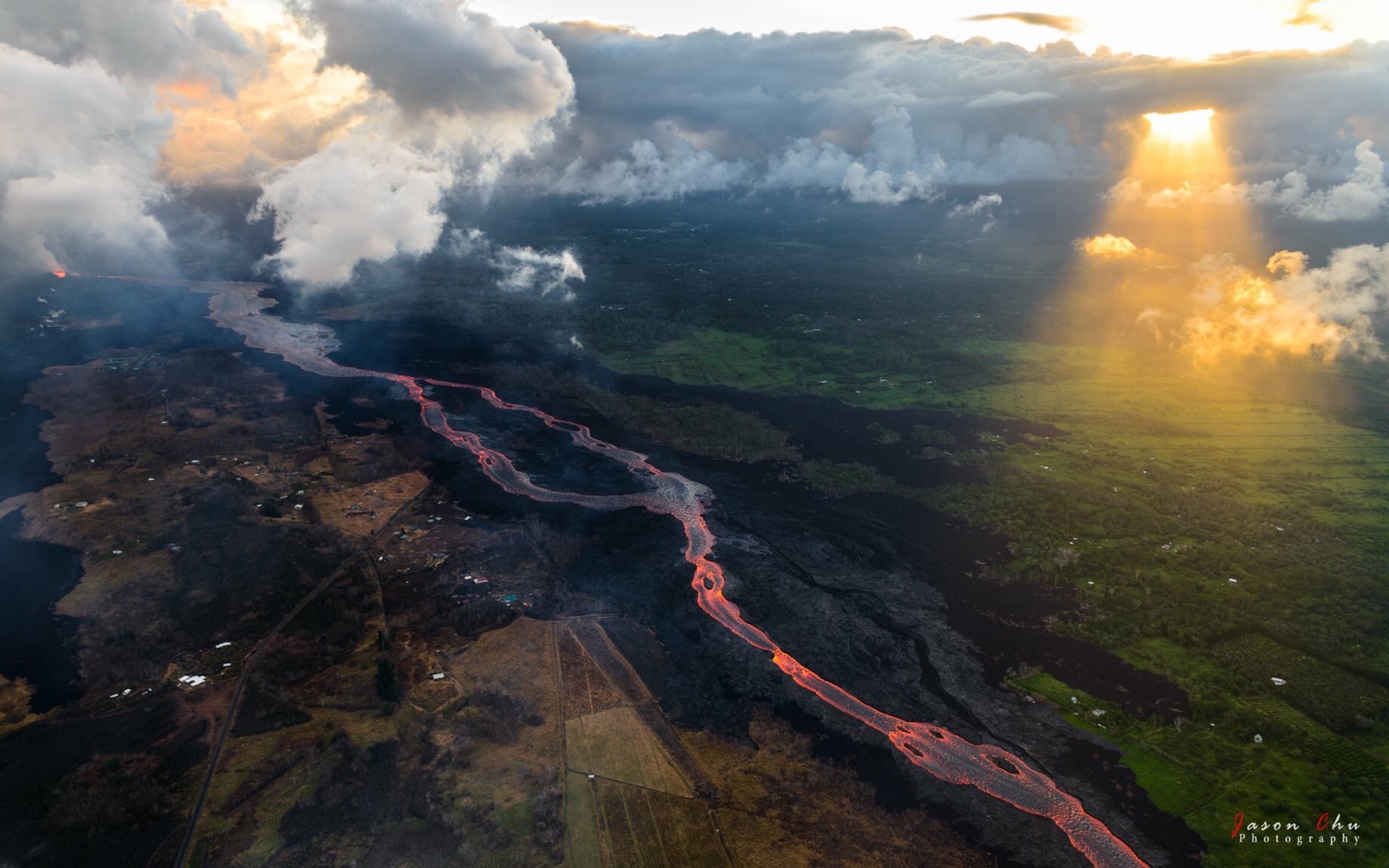
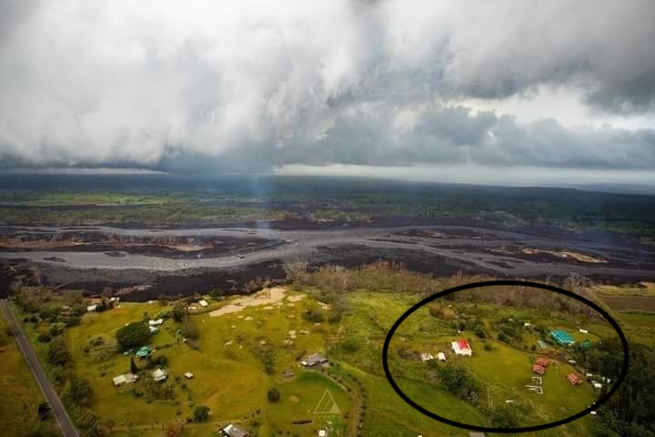
Beautiful shot taken on July 16th. Polestar just left of the brightest part of flow awaiting her fate.